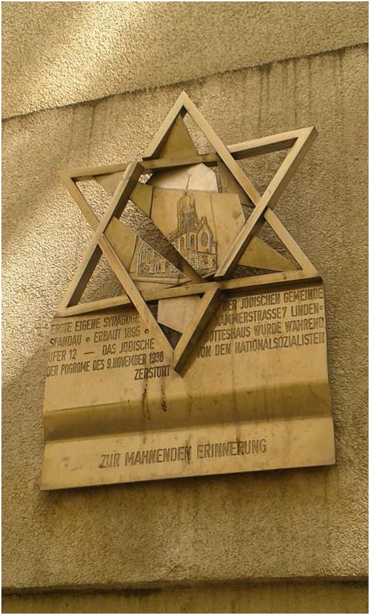
Commemorative plaque for the Spandau congregation’s first synagogue, which fell victim to the November 1938 Pogrom; photo: Jewish Museum Berlin
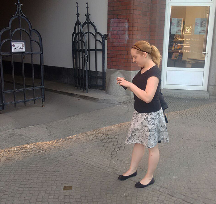
Spandau. Sixteen youths are carefully studying a memorial plaque in a building entryway. Interested young people with iPads in their hands are having an animated discussion on the streets of the old quarter. We’re talking about schoolchildren from the 9th grade at B. Traven Upper School tracing locations of Jewish life. They’re testing our online portal “Topography of Jewish Life in Germany,” which pools information on this subject for the first time and depicts it on an interactive map (our colleague Dana Müller has already reported on it here on the blog).
In the portal, the teenagers can also upload their own writing, photographs, and videos of places they discovered. They’re enthusiastically testing more functions, navigating by means of the digital map through the Jewish parts of Spandau’s historic district, clicking on apartments, reading texts, contemplating pictures, and relentlessly asking questions. Orientation is not an issue for them. So they make a lot of discoveries, for instance that the building that today houses a bank used to be a well-known “Jewish department store,” the Sternberg Department Store. They’re actually getting passers-by involved just by sharing their enthusiasm. At the end they ask us, the museum’s educators and project developers, to offer another such workshop again soon.

Sparkasse Bank in Spandau’s historic district, once the M. K. Sternberg Department Store, and commemorative plaque for Julius Sternberg at the entrance to the Sparkasse Bank; photos: Jewish Museum Berlin
That’s how it was.
Well — that’s how we would have liked it to go the first time we tried out how to combine the online portal successfully with our mobile museum on.tour — The Jewish Museum Berlin Tours Schools (more about on.tour on our website). → continue reading